The interactive map below shows all of our community tree planting project locations.
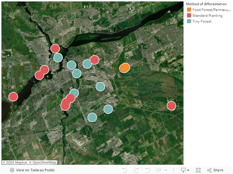
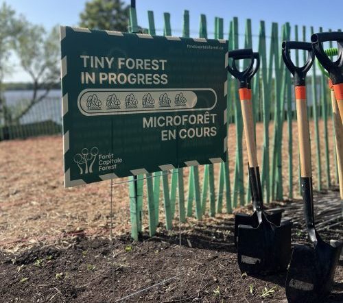
Forêt Capitale Forest is working to undertake many afforestation projects across the National Capital Region. As we grow, the map will be populated with all of our afforestation projects.
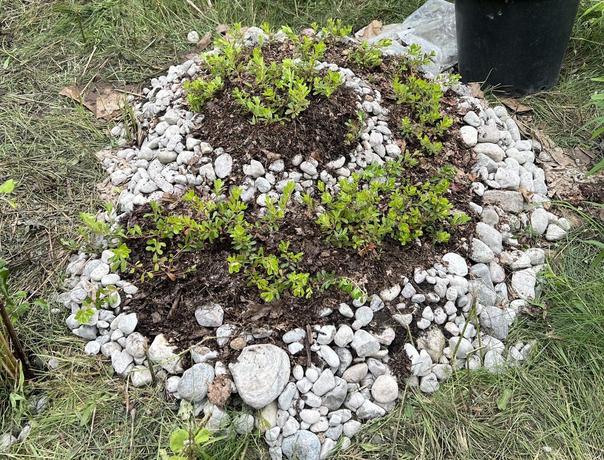
Forêt Capitale Forest is guided by an afforestation model that places a large degree of effort into maintaining and caring for trees after they’ve been planted until they reach maturity, this ensures a high survival rate. As a growing environmental non-profit, we rely heavily on community stewardship to care and maintain new urban forests until they reach maturity. To do this we strive to enable communities to become urban forest stewards through private and public landowner collaboration.